Taum Sauk Mountain
Missouri
July 2012
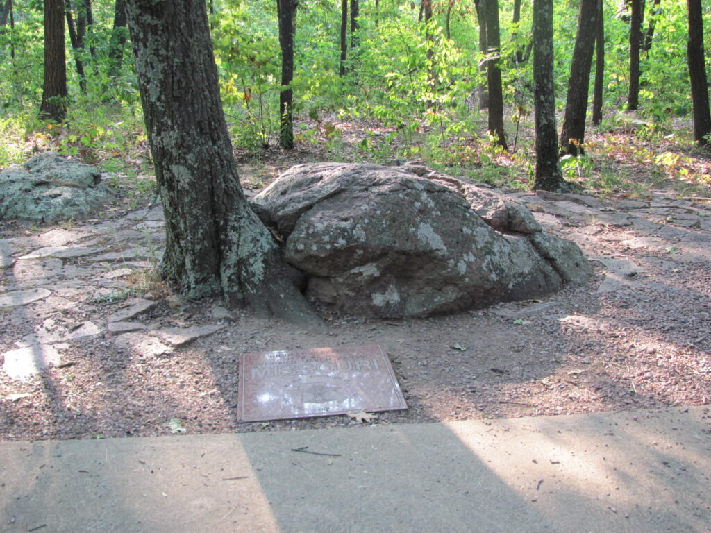
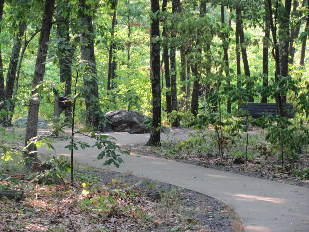
Lisa and I walk from the parking area to the summit. Takes about ten minutes. At this high point is a polished granite marker immediately before a two-foot high rock and a forty-foot tall oak tree. It appears that the rock is pushing the tree over, starting with the roots. It might actually be doing that. The marker is engraved thusly…
HIGHEST ELEVATION
1772.68 MSL
VERIFIED MARCH 23, 1991
MISSOURI
“MSL” = Mean Sea Level, in feet.
These words appear around a representation of an antique surveyor’s transit superimposed on an outline of the shape of the state of Missouri…
MISSOURI ASSOCIATION OF
REGISTERED LAND SURVEYORS
The height of this state is all very official. As are all of the high points. Well, no they’re not. Some are not even close. That’s another story.
A few steps from the rock is a register in a protective box by a metal bench. Lisa and I make our entry in the log book. We sit on the bench, relax, breathe, take in this quiet, serene place. Until Michael comes along and slobbers on my pants. Wasn’t expecting that.
Michael is a dog. Michael is accompanied by two humans, currently from New York, one of whose former home is half a mile from where I currently live. Here at Taum Sauk, we are 613 miles from where I currently live as the crow flies, or 706 miles as the crow drives. And yet, here we are.
It is reported that in 1874, Jesse James robbed the Ironton Train. Then he hid out right here in this wild area. For the record, he probably didn’t rob the Ironton Train as that train made its run in Lehigh County in Pennsylvania. But the town of Ironton is just up the track a short way from this high point and Mr James probably robbed the train out of Ironton. It is fun to think of him hiding behind this oak tree.
Sic him, Michael!